


2018 School Spending Survey Report
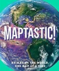
Maptastic!: Reimagining the World, One Map at a Time
COPY ISBN
VERDICT Illustrative maps and comprehensive geographical information make this volume an excellent addition to geography curricula; it should be considered for purchase.
ALREADY A SUBSCRIBER? LOG IN
We are currently offering this content for free. Sign up now to activate your personal profile, where you can save articles for future viewing
ALREADY A SUBSCRIBER? LOG IN
Thank you for visiting.
We’ve noticed you are using a private browser. To continue, please log in or create an account.
Be the first reader to comment.
Comment Policy:
Comment should not be empty !!!