2018 School Spending Survey Report
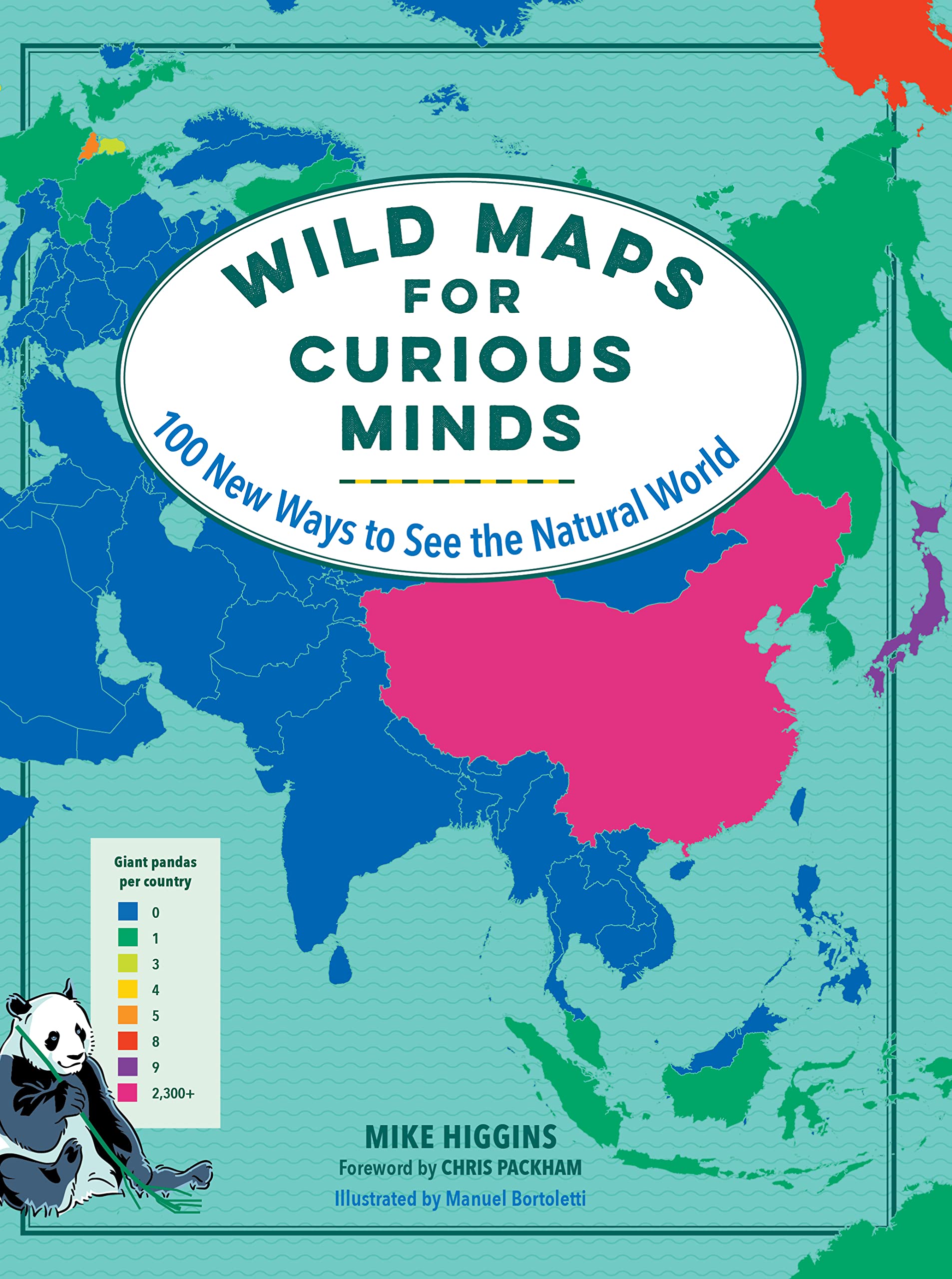
Wild Maps for Curious Minds: 100 New Ways to See the Natural World
The Experiment.
Nov. 2022.
208p.
Tr $19.95. ISBN 9781615198924.
COPY ISBN
VERDICT Curious minds will find themselves informed and entertained by this book. Selectors in middle and high school libraries should consider.
RELATED
ALREADY A SUBSCRIBER? LOG IN
We are currently offering this content for free. Sign up now to activate your personal profile, where you can save articles for future viewing


Be the first reader to comment.
Comment Policy:
Comment should not be empty !!!